New Projections Show Illinois River May Top Levees
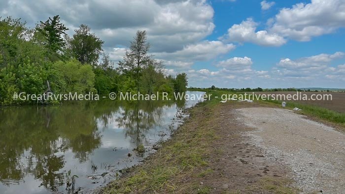
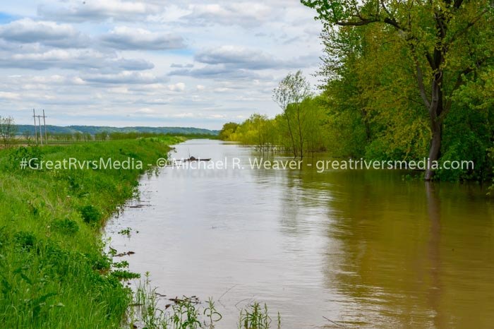
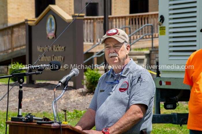
Chuck Lanczkowski, director of the Calhoun County Emergency Services, is highly concerned with the new flood level predictions that were released Tuesday afternoon. The Illinois River at Hardin presently stands at 37.25 at 8:30 p.m. Tuesday. The crest is predicted to be 40 feet on Tuesday, June 4. The historical high crest in Hardin was 42.4 feet in 1993.
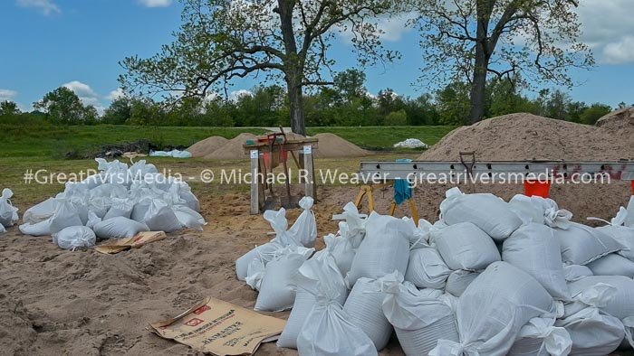
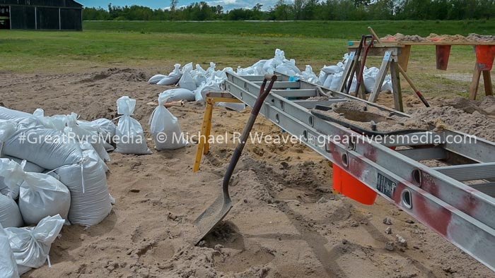
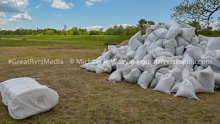
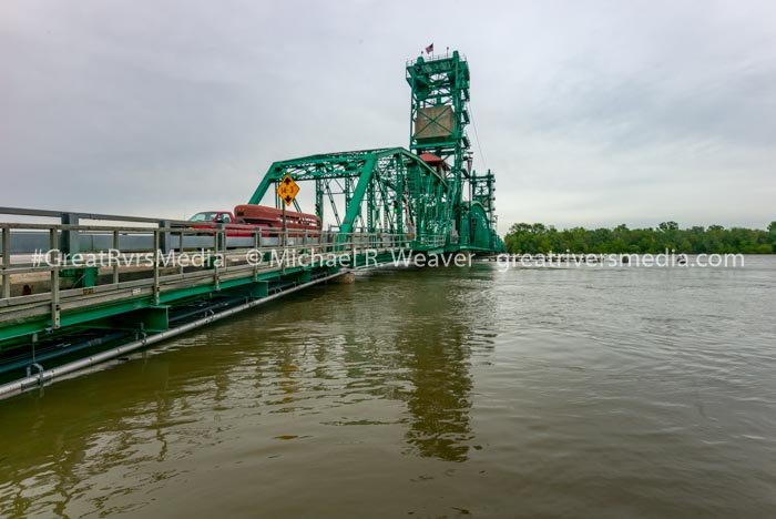
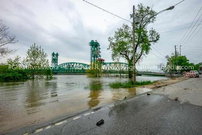
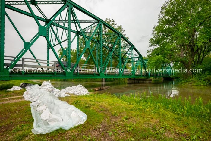
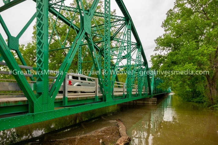
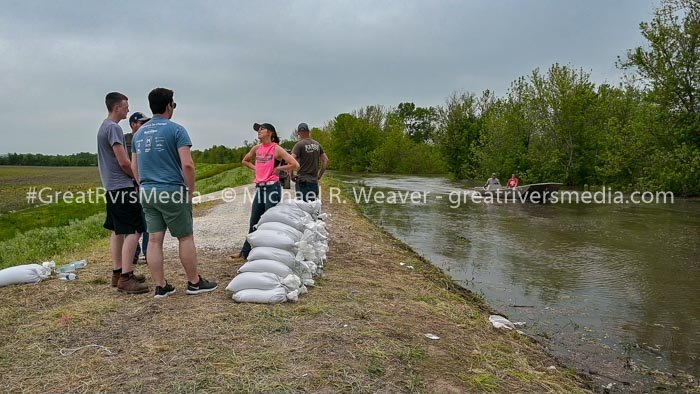
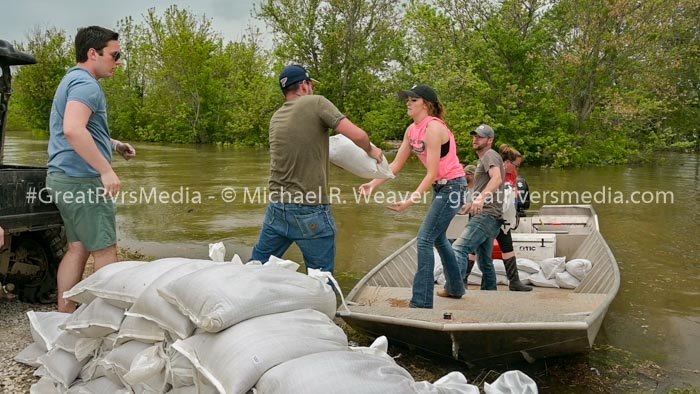
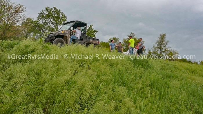
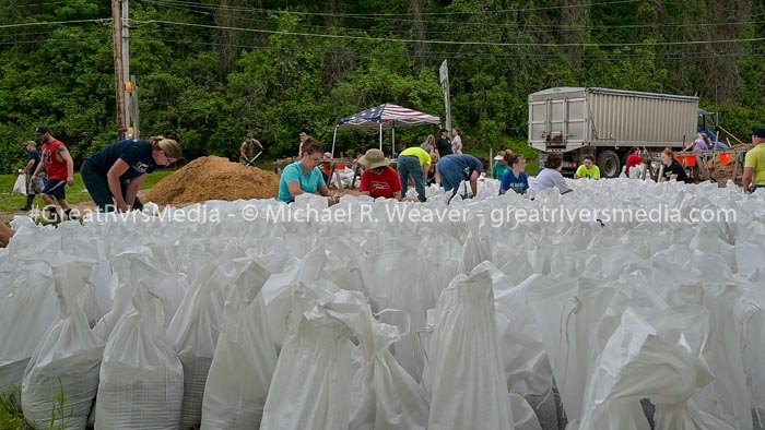
“At this point we are trying to figure out how to bag 13 miles of levee,” he said today. “We can’t bag it by foot. Illinois Route 16 feeds into the Joe Page Bridge and if that was lost that is our one viable crossing into the county. There are a lot of decisions to be made by the three county jurisdictions as well as the state resources.”
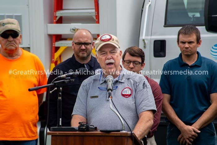
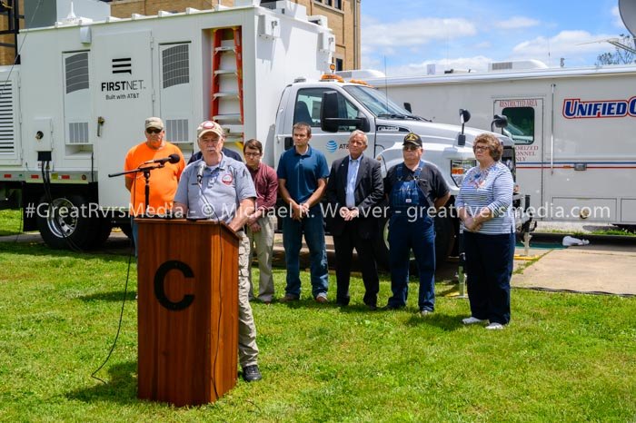
At a press conference last week, the emergency management director thanked many for their help with the recent flood problems, from IDOT, emergency management agencies IEMA, Madison County and Macoupin County, along with Adams, Lincoln counties and St. Charles, Mo. County. He also saluted the American Red Cross, Salvation Army and AT&T and Verizon. JL Nash helped with sanitary efforts and area sheriff’s departments from Calhoun and neighboring counties also did a lot, he said. He also thanked the legislators for their help from Rodney Davis, C.D. Davidsmeyer and Steve McClure and Gov. J.D. Pritzker.
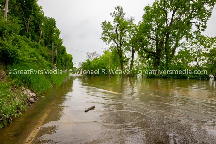
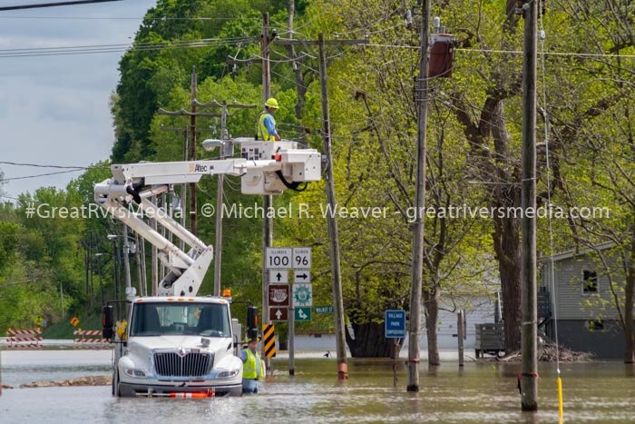
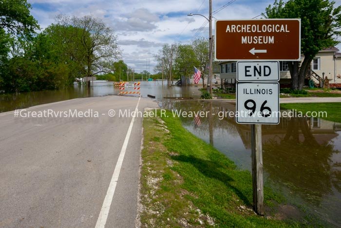
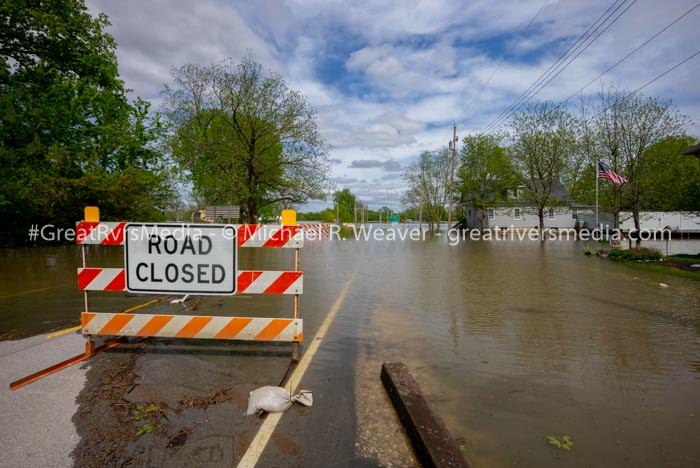
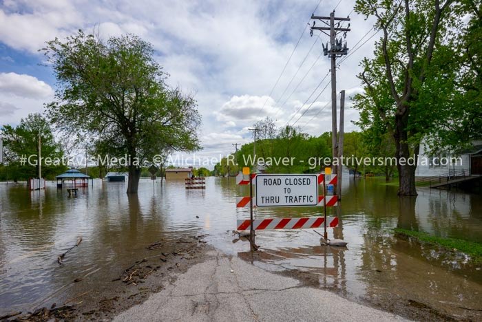
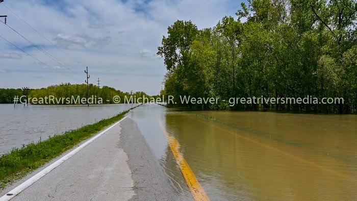
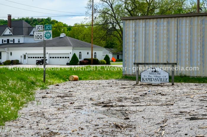
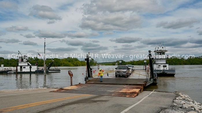
Today Lanczkowski said the area hasn’t experienced this kind of flood issues since 1993 and it is very difficult. "If that Nutwood Levee does breach, as many fear, Hardin will be inaccessible via Route 16. This would further isolate the county and make the Kampsville Ferry the fastest way to reach Greene and Jersey Counties and points to the south. If the levee breaches as Nutwood – as it did in 1993 – residents said a mere trip from Hardin to Jerseyville will take four hours and cover as much as 120 miles."
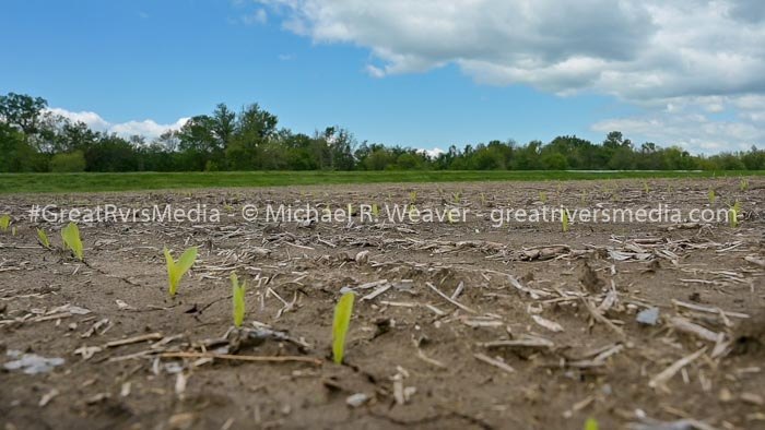
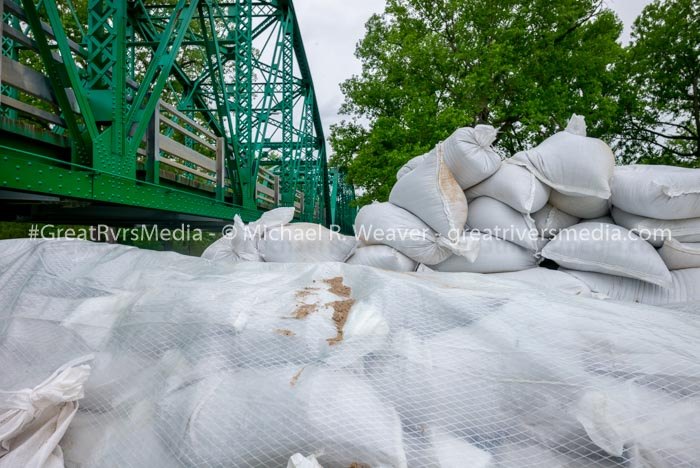
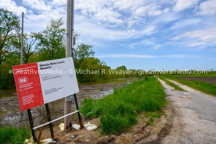
The Nutwood Drainage and Levee District protects 10,360 acres of primarily agricultural land located in Greene and Jersey Counties, Illinois, on the left bank of the Illinois River between river miles 15.2 and 23.7 above the mouth of the Illinois River. This federally constructed levee provides protection for a 4 percent chance of exceeding a 25-year event. The levee was overtopped and breached completely during the flood of 1993, inundating the area and causing a disruption of traffic on Illinois Routes 100 and 16 for over three months.
More information should be coming out either Wednesday or Thursday on the next steps to protect the Nutwood Levee.
Illinois River in Hardin Historic Crests
- 42.40 ft on 08/03/1993
- 38.20 ft on 04/29/1973
- 36.87 ft on 12/31/2015
- 36.82 ft on 06/04/2013
- 36.70 ft on 05/29/1995
- 36.50 ft on 06/30/2015
- 36.50 ft on 04/14/1979
- 35.82 ft on 06/28/2008
- 35.22 ft on 05/06/2017
- 34.80 ft on 05/16/2002